Dahua Qibainong National Geological Park
 |
|
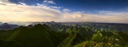
There are more than 9,000 peaks in Qibainong National Geological Park. [Photo/Hechi Daily] |
Qibainong National Geological Park is located in the northern part of Dahua Yao autonomous county in South China's Guangxi Zhuang autonomous region and borders Hechi city's Donglan and Du'an counties.
It covers an area of 323.4 square kilometers and includes Qibainong town, southeastern Bansheng town, eastern Beijing town, northeastern Duyang town, and northern Yalong town. The park is also imbued with many deep lakes at an elevation of 900 meters above sea level as well as the Banlan Canyon Area.
The park features a unique karst landscape with mountain ranges, low-lying lands, valleys, caves, underground rivers, and fossils.
It boasts a multitude of tourist attractions, combining the beauty of nature with ethnic customs and large hydropower projects.
There are about 9,000 rock mountains standing at least 800 meters above sea level and about 90 standing at least 900 meters above sea level. The mountains were uniquely carved by natural forces and form a 900 to 1000-meter karst denudation section, a marvel to behold.
A total of 2,566 low-lying lands are scattered throughout the park, with a density of 5.28 per square meter, making it the densest cluster of karst peaks in the world.
The Ministry of Land and Resources classified it as a national geological park in August 2009.
 |
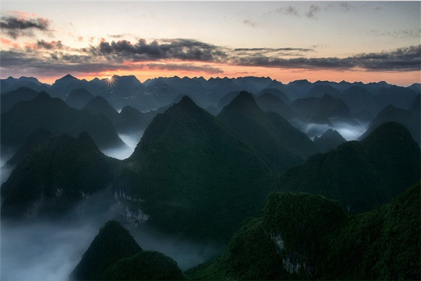
| A view of the sunrise at Qibainong National Geological Park [Photo/VCG] |
 |
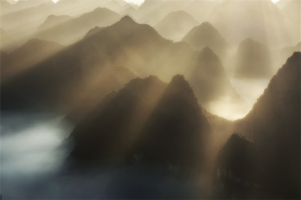
| A sea of clouds enshrouds the karst mountains. [Photo/VCG] |
Copyright © Hechi Municipal People's Government. All rights reserved.
Presented by China Daily.
京ICP备13028878号-6


